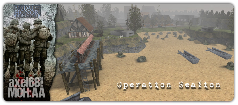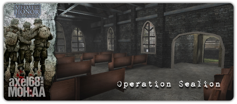
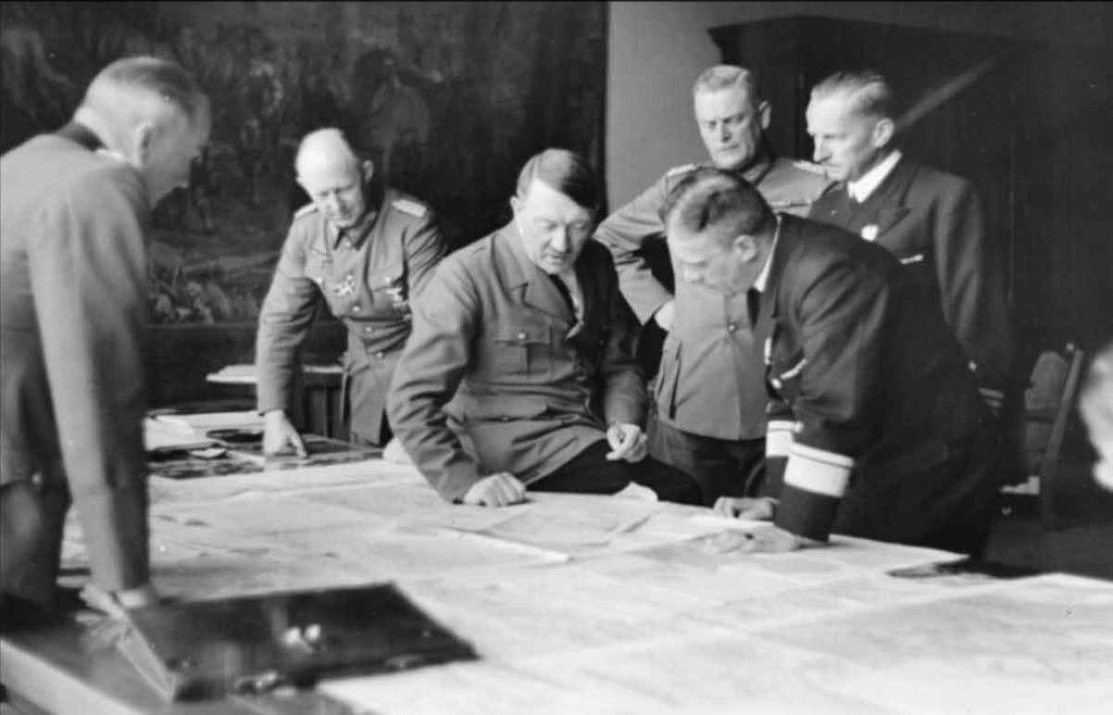
A l’été et l’automne 1940, l’opération Sealion, l’invasion des îles britanniques par le Reich, bute sur un obstacle colossal : les quelques dizaines de kilomètres de mer qui séparent l’armée allemande du sol britannique ne peuvent être franchis que grâce à la maitrise de la mer.
Cette carte est basée sur l’invasion allemande de la Grande-Bretagne, ce qui n’est jamais arrivé après que la RAF a tenu le ciel sur l’Angleterre contre la Luftwaffe.
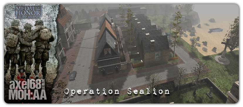
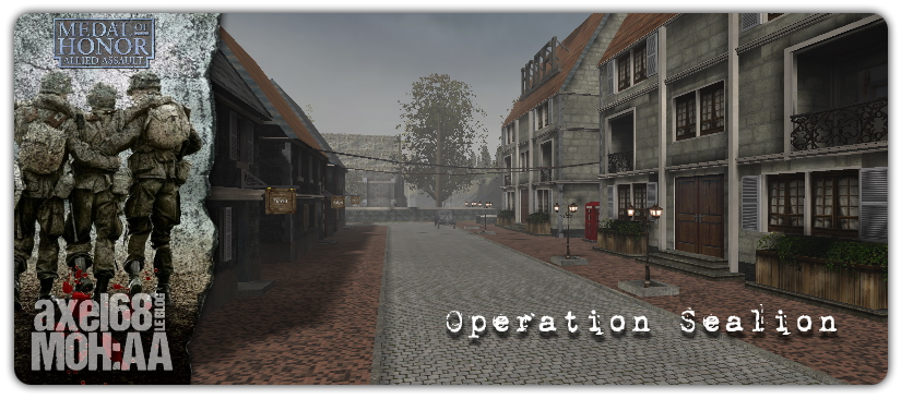
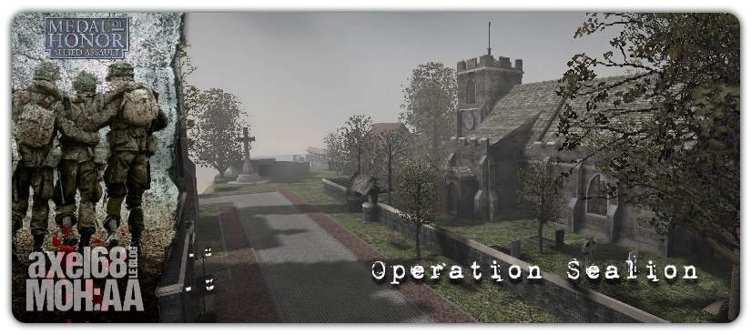
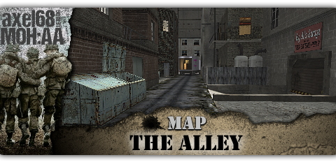
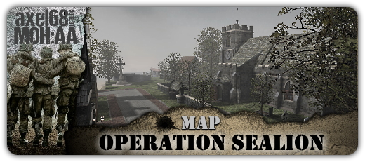
Impressionnante par sa beauté, voici une map qui vous plaira. Une plage, une église de toute beauté, des commerces divers, un passsage souterrain agrémentent cette map gourmande en ressources, mais à l’esthétique irréprochable. Crée par Uber_Soldat.
In the summer and autumn of 1940, Operation Sealion, the invasion of the British Isles by the Reich, comes up against a colossal obstacle: the few tens of kilometres of sea that separate the German army from British soil can only be crossed thanks to the control of the sea…
This map is based on the German invasion of Britain, which never happened after the RAF held the skies over England against the Luftwaffe. The Germans are planned to land along the South and East coasts of England.
Impressive by its beauty, here is a map that you will like. A beach, a church of all beauty, various shops, an underground pass embellish this map greedy in resources, but with irreproachable aesthetics. Created by Uber_soldat.